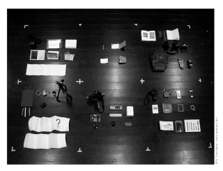
Chinese high cold mountains had long been an undiscovered terrain on maps. One of them was Mount Gongga, the highest peak of the Hengduan Mountain Ranges, elevated seven thousand meters above the Chengdu Plain. Mount Gongga has been experiencing visitor blooming, infrastructure updating, and route reshaping, making it a representative case study to examine how landscape routes and pauses can be curated for future changes in ongoing rural-urban transitions. Geographical remoteness keeps this high mountain a white spot to landscape architects and researchers. Topographic prominence stretches and condenses alpine landscape layers and intervenes field observations. “Trans-Alpine: From the Polar to the Peak”, a Master of Landscape Architecture design studio at the Oslo School of Architecture and Design locating in Tromsø, experimented with an approach to inquiring into Mount Gongga from Norwegian alpine zones: a combination of research tools including thematic alpine mapping and fieldwork framework. The tool outcomes informed the landscape researchers to further imagine future pausing or route scenarios. Some of the results were curated in an exhibition space at the Nordnorsk Kunstmuseum, as a reflective display of this landscape exploration across two geographies.